DIGITIZING AGRICULTURE
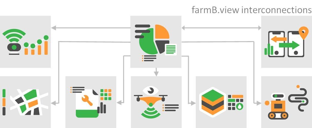
Eight interoperable modules to start with

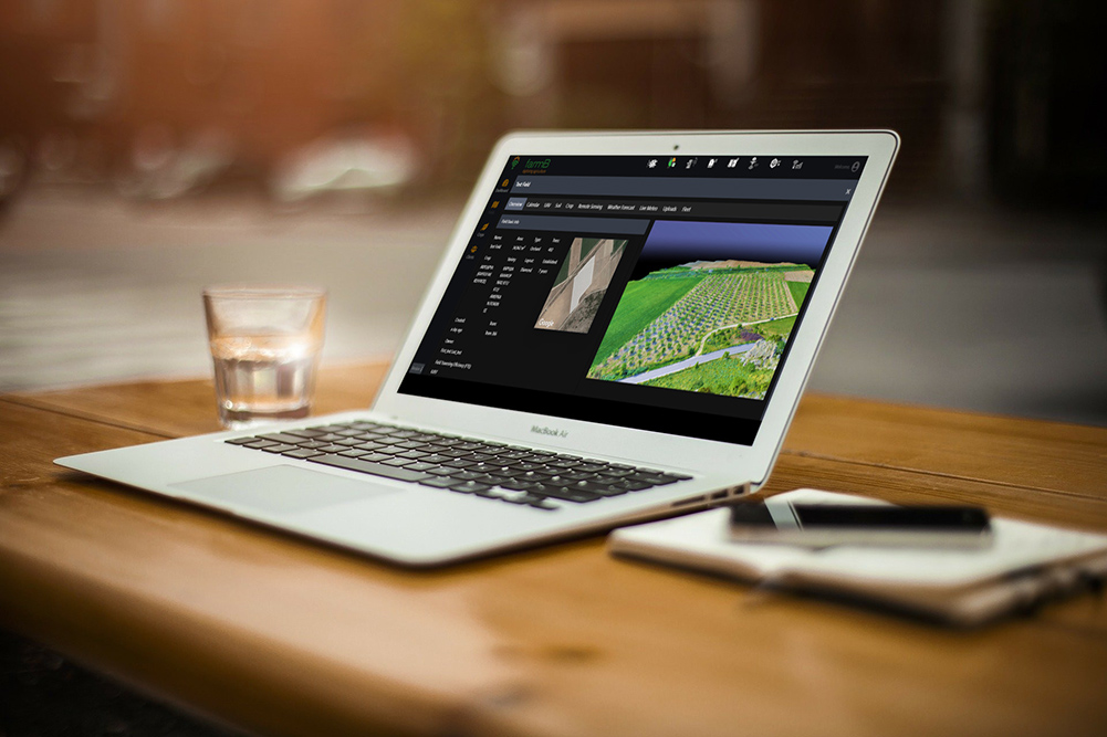
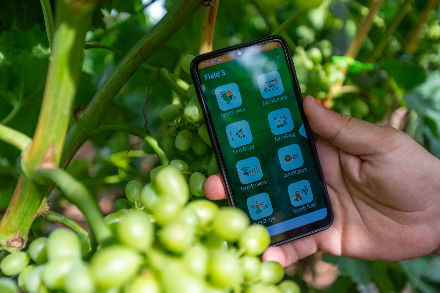
One-stop Overview
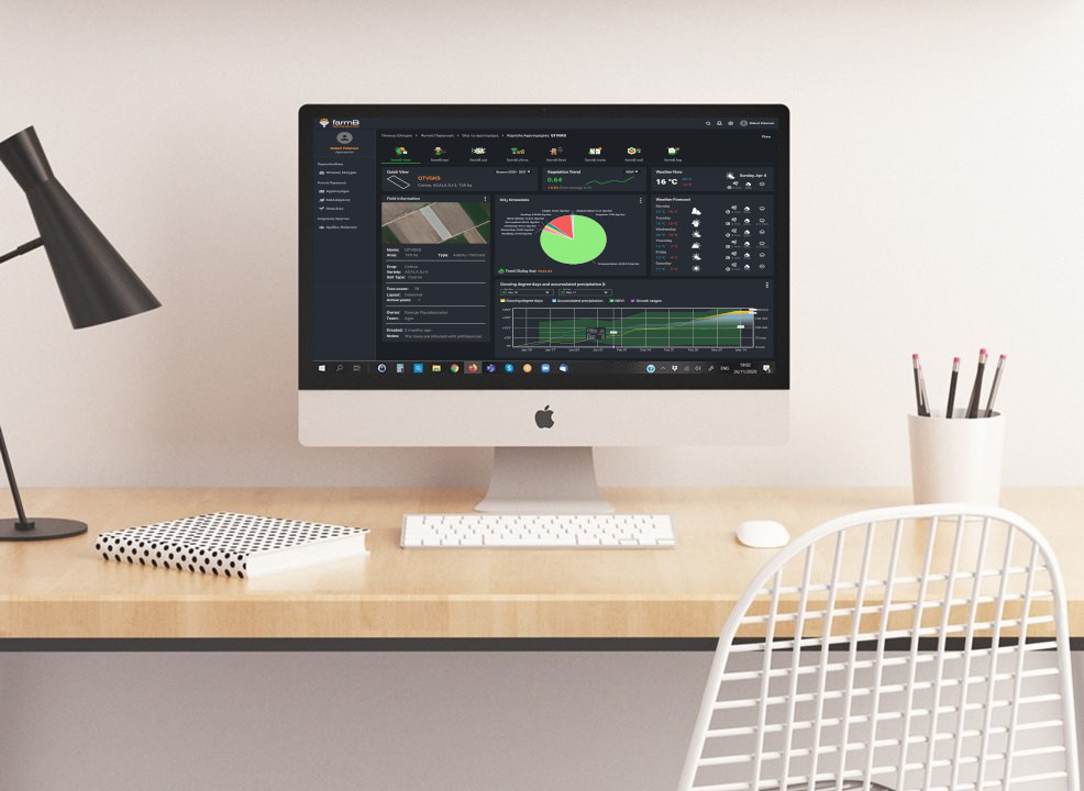
farmB.view module is your information gate to compiled and visualized agri-data. User can immediately get an overview of operations, production flow and crop status, teams and many more real-time or processed data. The fast, accurate and intuitive reporting for the whole system can provide salient information regardless the production, crops mix, and number of producers.
Monitor production in a one-stop information endpoint
Receive fast, accurate and intuitive reporting for the whole system
Extract the most salient data
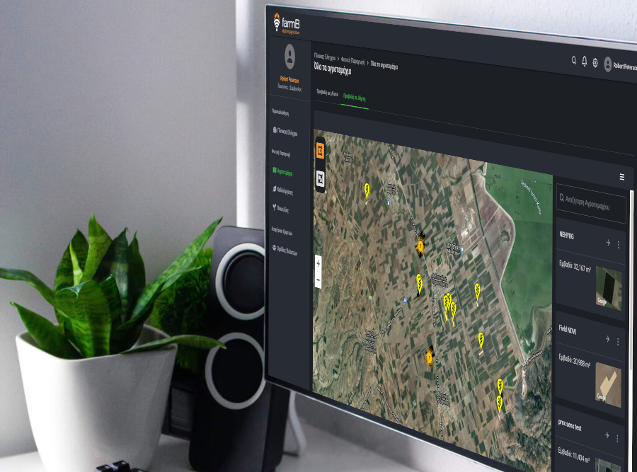
Navigate agri-holdings at a glance
Manage your production systems, regardless of size, crops mix, and operational structure
Supervise teams and clients from your desk
Implement data analytics to take better informed decisions
Get tailored, deconstructed visualized information
Harness the power of data interoperability combined with agri-analytics tools
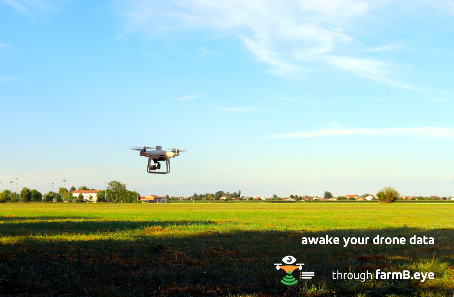
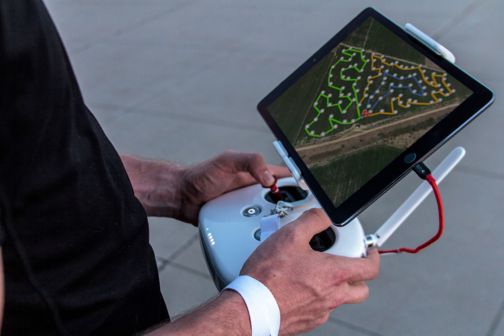

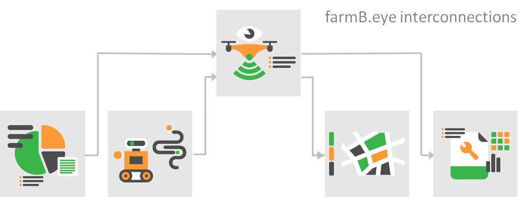
Eyes from Above
farmB.eye module is your focal point for all visual information gathered by drones using a wide array of sensors. Every single picture taken by machine-assisted surveys is presented in an organized and comprehensive structure that allows the user to explore timelines and remotely monitor growth, infestations, and other critical indicators. Users can reveal hidden layers of information by taking advantage of the wide array of sensors available.
Inspect multiple fields at an unprecedented speed
Compare geo-referenced information in timelines
Consistently monitor crops’ development stages
Get notified for incidents of interest
Focus on plot-level of any size with high accuracy
Reveal extra layers of information beyond the visual spectrum data
Strengthen decision support processes by grounded data

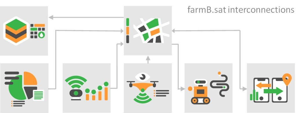
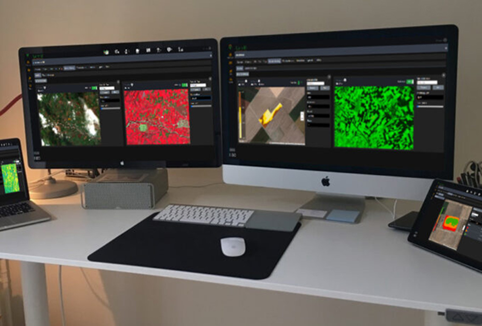
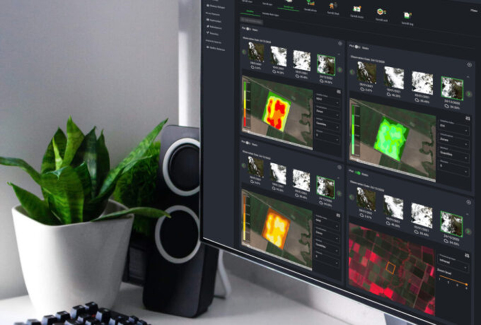
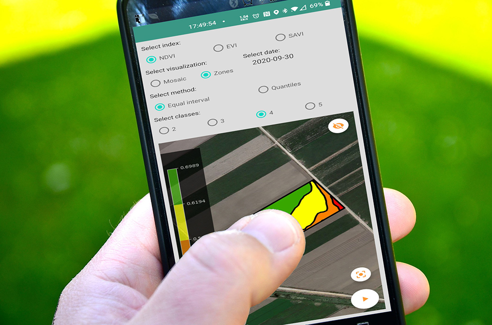
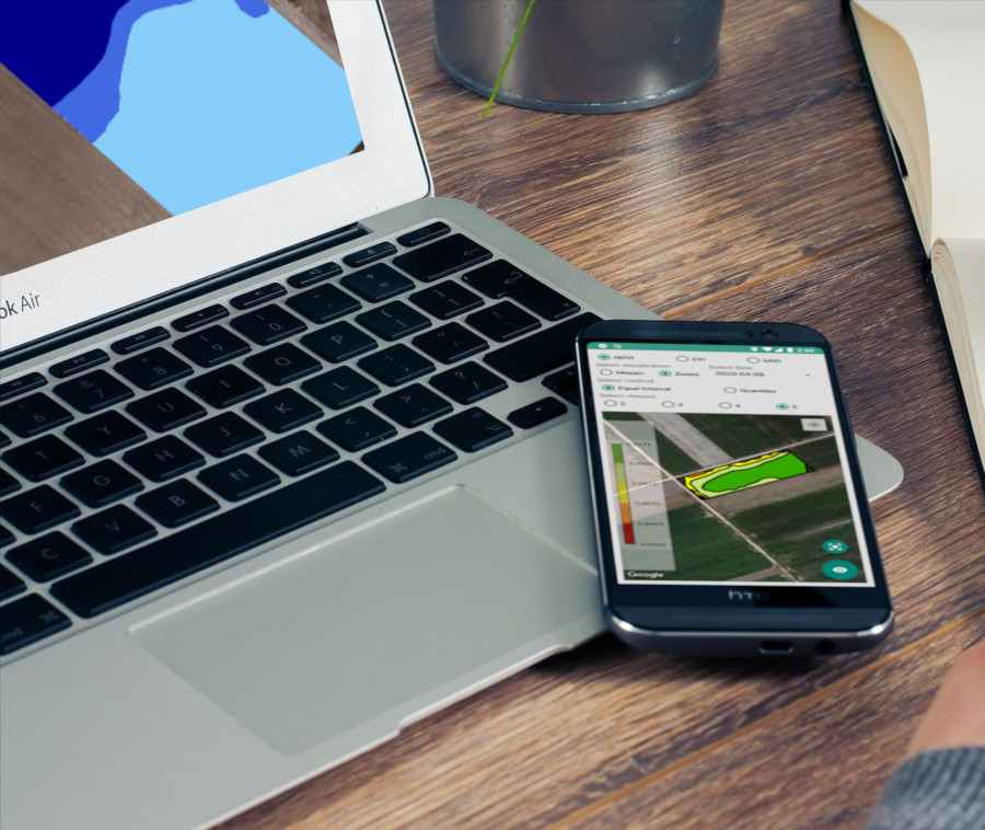
Satellite Data Processing
farmB.sat module is your eye from space, offering satellite data at plot level. The process is fully automated, from data retrieval to processing and visualization. A step beyond single dimensional reporting of indices, farmB.sat generates user-preferable zones, paths, areas, and prescription maps to serve the field workflow
View automatically updated satellite imagery at plot-level
Assess vegetation indices (NDVI, SAVI, EVI etc.)
Generate customized in-field management zones
Exploit different methodologies and visualization options according to your needs
Compile fertilization and other variable rate application files
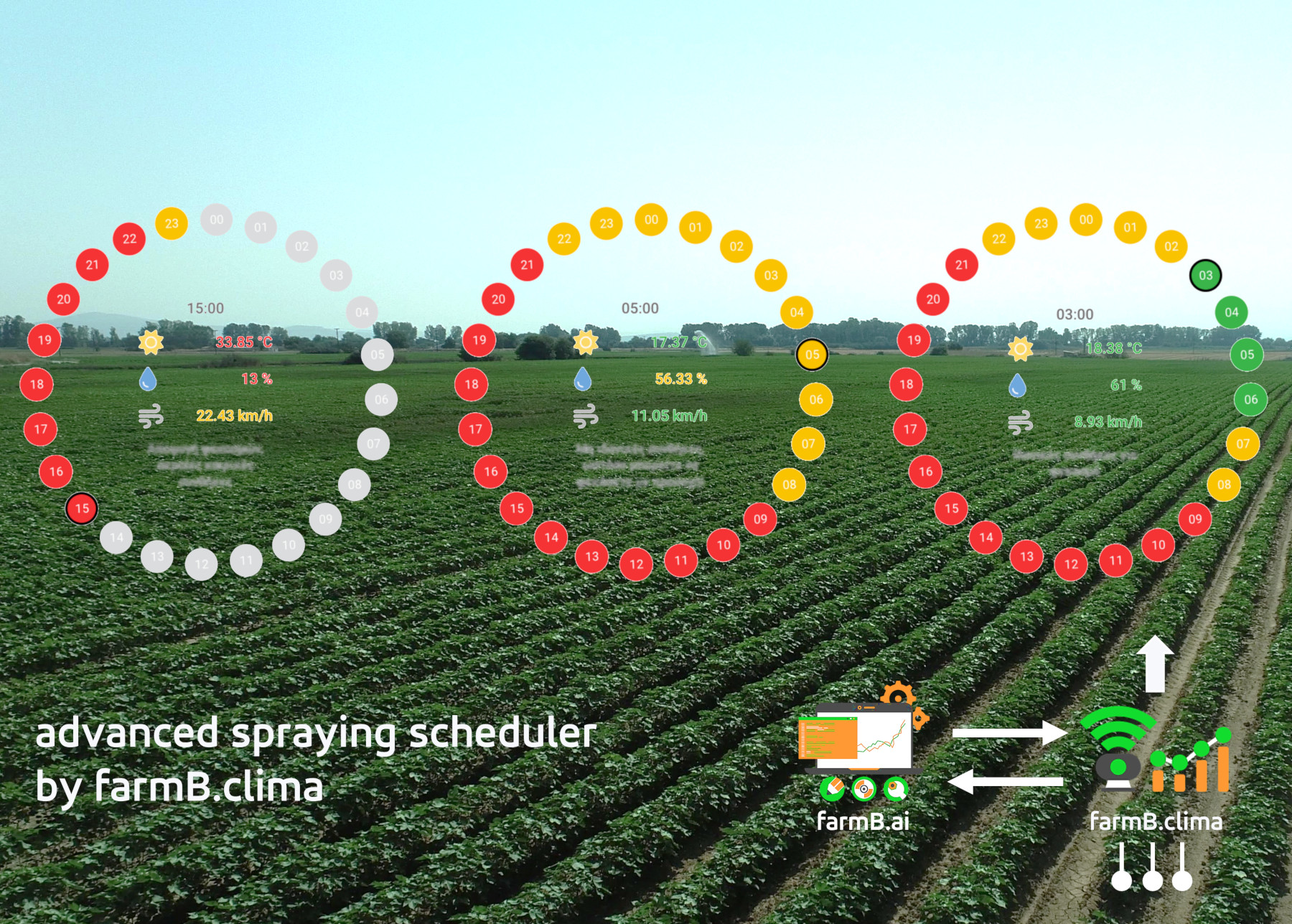

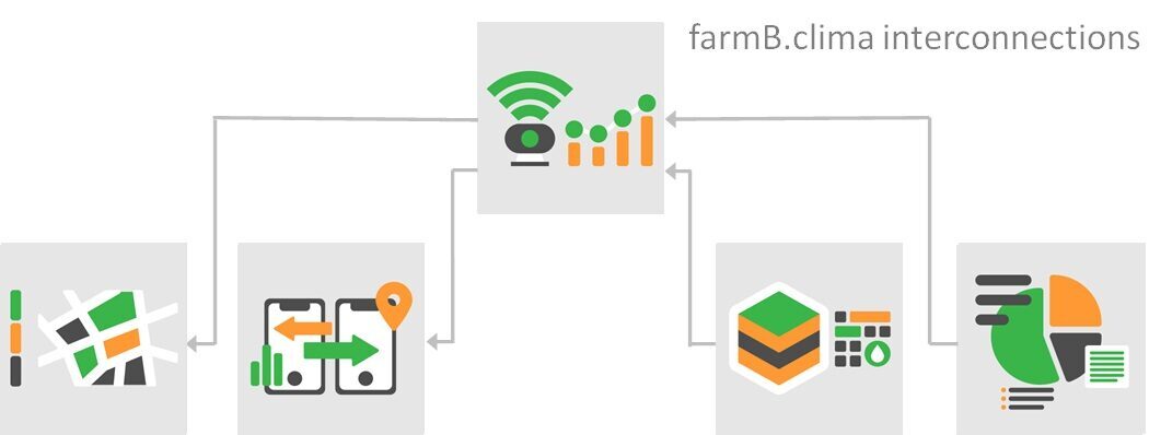
Climate Data Monitoring
farmB.clima module integrates available climatic data ranging from open meteorological data to dedicated sensors networks installed in your field. farmB.clima exploits interoperable data to propose sensor array configurations tailored to your needs.
Establish sensor networks field specific and targeted, based on cultivation zones
Monitor all available climatic parameters at-one-place
Get accurate forecasts from reliable sources
Receive live meteorological data, based on local micro-climatic conditions
Highlight hotspots with georeferenced visualized data
Stay informed with customized alerts

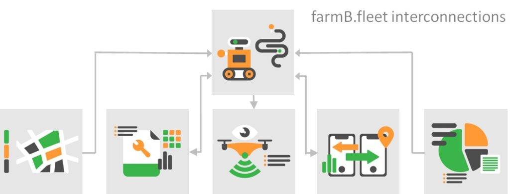
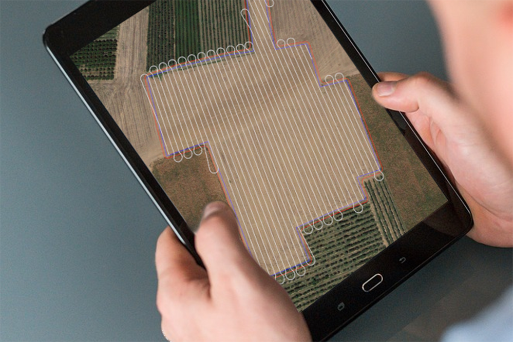
Fleet Management
farmB.fleet module extends the usability of the system to machinery. Natively export and import ISOXML, CSV and other file formats used by agricultural machinery allows you to monitor running or plan up-coming. Data streams from machinery, crop, soil and other sources are fused into actionable information for cultivation consultants.
Monitor your agri-fleet in real time
Fully utilize your agri-machinery recorded data
Link your telematic compliant system to ours
Customize your data visualization
Access data insights with multiple-sources data fusion
Create path planning and action planning for agri-machinery (extractable files)
Compile variable rate fertilization files


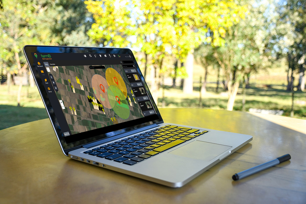
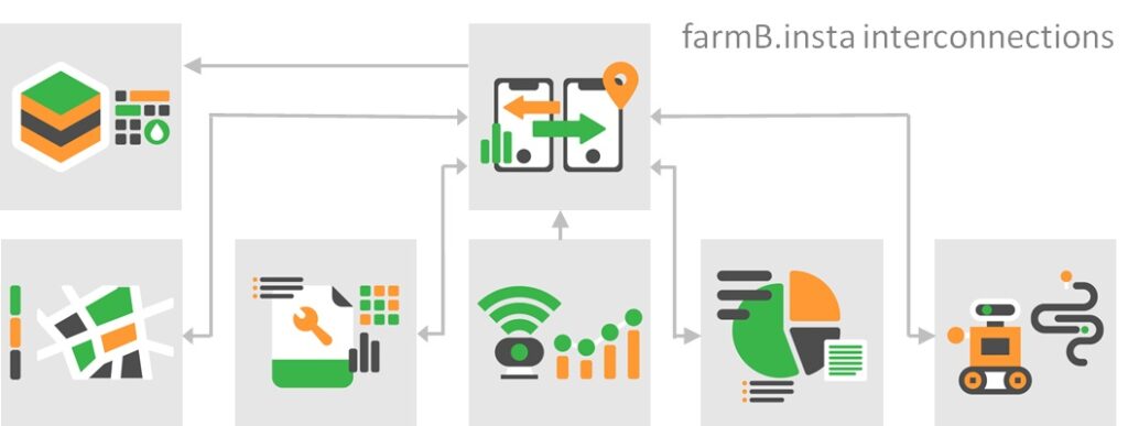
Georeferenced Data Exchange
farmB.insta module enables real-time vital information sharing between on-site and off-site teams. Using the inter-connected smartphone app together with the web application, teams can communicate in media-rich formats, allowing real-time consulting based on a common perception of reality. Data is logged and registered to fields and producers, creating retrievable data from anywhere.
Instantly communicate with farmers in the field
Get live information from the field at your desk
Send media-rich messages including photos, audio, text or audio-to-text
Create detailed historical data effortlessly and automatically registered to fields and farmers
Conduct real-time consulting
Navigate to reported in-field points of interes

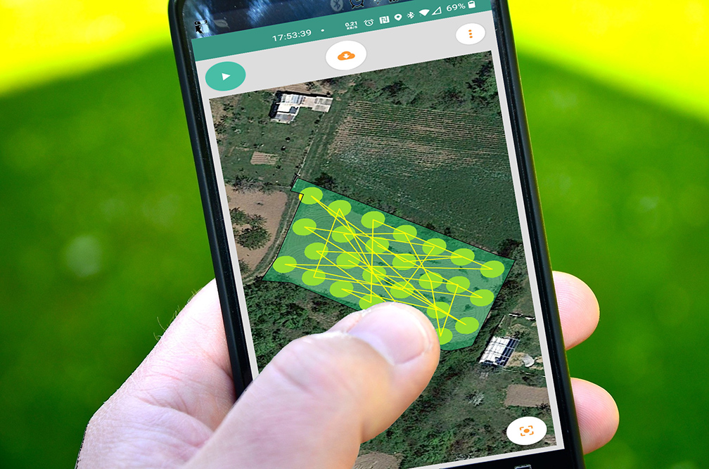
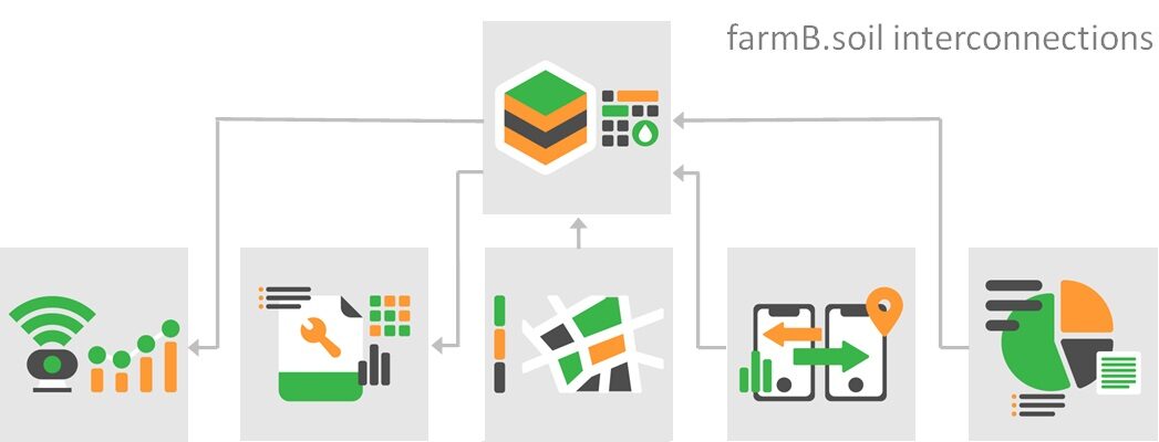
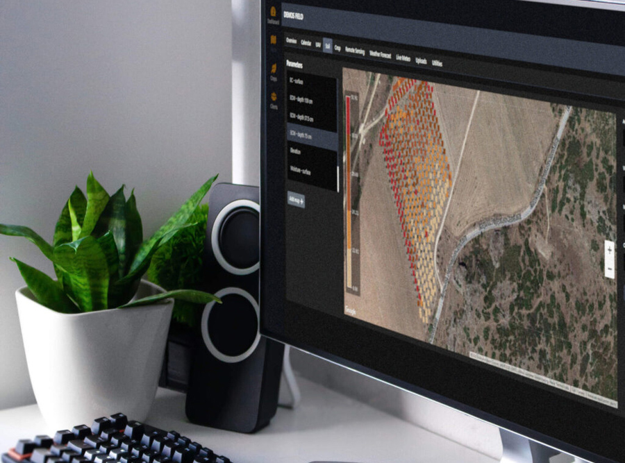
Soil and Crop Mapping
farmB.prox module enables you to manage critical soil and crop data. The module offers a complete set of services and applications for collecting, processing and visualizing information. Ranging from soil conductivity scans with proven in the industry sensors, to creating sampling point maps and allowing navigation (back) to the sampling points. Zones are created to assist optimal instalment of sensors in the most efficient array. Data is fully connected with all farm.B modules, thus generating valuable information for cultivation consulting services, supporting fact-based decisions.
Gain valuable insight on a number of unique soil parameters
Optimize and generate soil data sampling points
Navigate in-plot to areas of interest with the support of farmB mobile app
Put data into action with innovative data fusion
Define installation zones and optimize locations for sensors
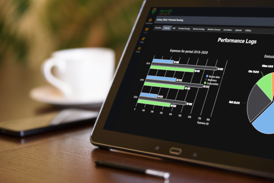
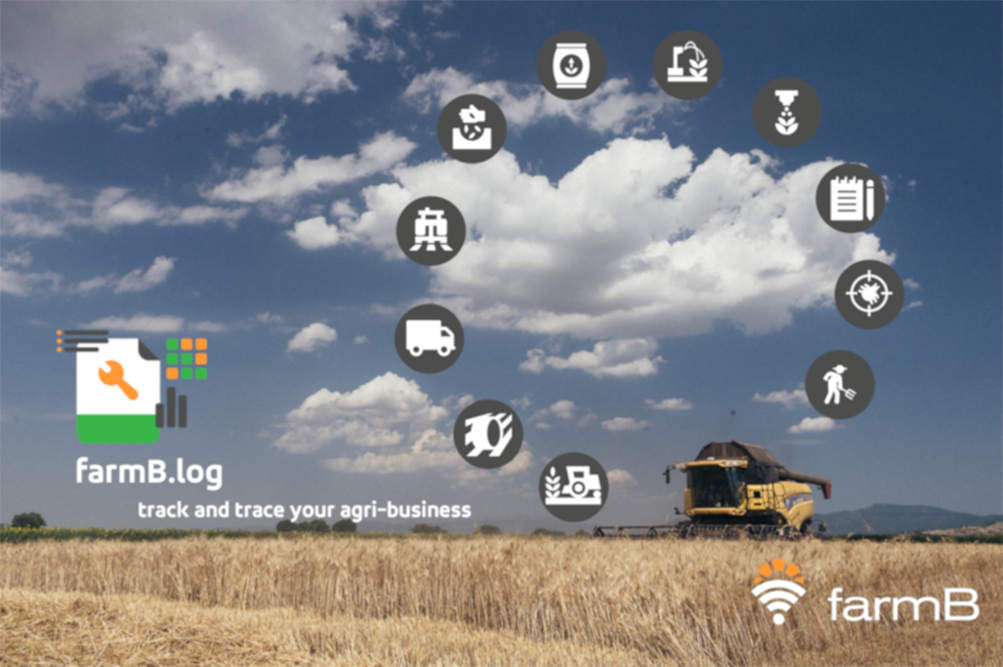

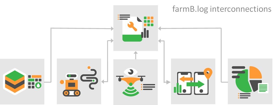
Digital Operation Log
Keep all operations organized and detailed at one place
Monitor inputs and outputs at plot level
Benefit from automated log data processing
Generate financial performance reports at any level (plot, crop, farmer, team)
Create environmental performance reports (e.g. CO2 emissions) at plot level
Export data in an easy-to-read and share report in pdf format
")